檔案:World ocean map.gif

出自六年制學程
跳轉到: 導覽搜尋
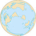
World_ocean_map.gif(500 × 500 像素,檔案大小:68 KB,MIME類型:image/gif、循環、4幀、10秒)

該檔案來自於維基共享資源,它可能在其它計劃項目中被應用。 它在檔案描述頁面那邊上的描述於下面顯示。

摘要

描述
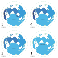
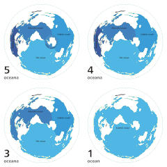
English: Animated map exhibiting the world's oceanic waters. A continuous body of water encircling Earth, the World Ocean is divided into a number of principal areas with relatively uninhibited interchange among them. Five oceanic divisions are usually defined: Pacific, Atlantic, Indian, Arctic, and Southern; the last two listed are sometimes consolidated into the first three.

Animated world ocean map (GIF), exhibiting various oceans. Azimuthal distance projection map is based on world map from this online Java tool by Henry Bottomley and altered using CorelDraw/PhotoPaint, et al. Map is centered on 85° W, 45° S, rotated 90° CCW (North Pole is to the left). Ocean boundaries per International Hydrographic Organisation.

  • blue: ocean
  • black: other substantial bodies of water (viz. Caspian Sea, Great Lakes)
  • white: land
  • green dotted line: map periphery
日期
來源

個人作品,使用:

作者 User:Quizimodo
授權許可
(重用此檔案)
Public domain 我,此作品的版權所有人,釋出此作品至公共領域。此授權條款在全世界均適用。
這可能在某些國家不合法,如果是的話:
我授予任何人有權利使用此作品於任何用途,除受法律約束外,不受任何限制。
其他版本

說明

添加單行說明來描述出檔案所代表的內容

在此檔案描寫的項目

描繪內容

檔案歷史

點擊日期/時間以檢視當時出現過的檔案。

日期/時間縮圖維度使用者註解
目前2007年4月8日 (日) 12:12於2007年4月8日 (日) 12:12的縮圖版本500 × 500(68 KB)Quizatz HaderachAnimated world ocean map!

以下的1個頁面連接到本檔案: